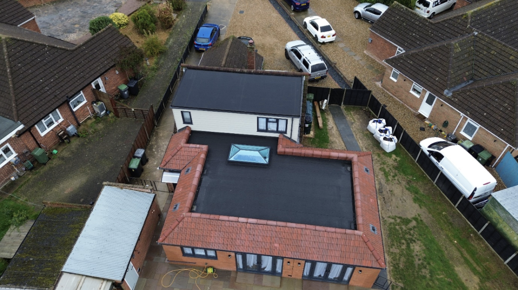
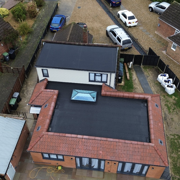
We can also offer aerial photography of sites, photographs of finished sites, timelapse and other aerial photographs of your site for marketing purposes.
Our company is fully compliant with all the safety regulations, having an operator license and our main flight staff member having a flight operator license, we are fully insured for commercial work.
Our flight operator will undertake a desk-based pre-flight check before going to site to check for ‘no-fly zones’, obstacles, safe base of operations and how best to photo or map the site.
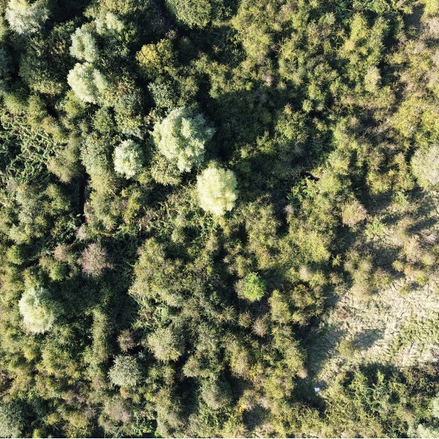
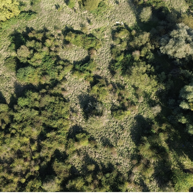
This allows us to quickly and safely access buildings and trees (when aerial obstacles allow) without the need to have expensive scaffolding, cherry-pickers and climbers on site. Other services include aerial mapping of sites and remote sensing of dangerous areas, where sending in a human would not be feasible e.g. over wet terrain, cliffs or dense scrub.
The main use is for bat and habitat surveys, where a drone can get above a building or site and look for potential roosting features (PRF’s), badger setts and habitat types across an area.
In addition to checking for habitats and PRF’s the drone can be used for general aerial photography and videography.


